About this campground
The South Fork Payette River stretch offers opportunities for camping and fishing in a scenic mountain area. The BLM's South Fork Recreation Site is an undeveloped camping spot along the river.
About Payette River Corridor
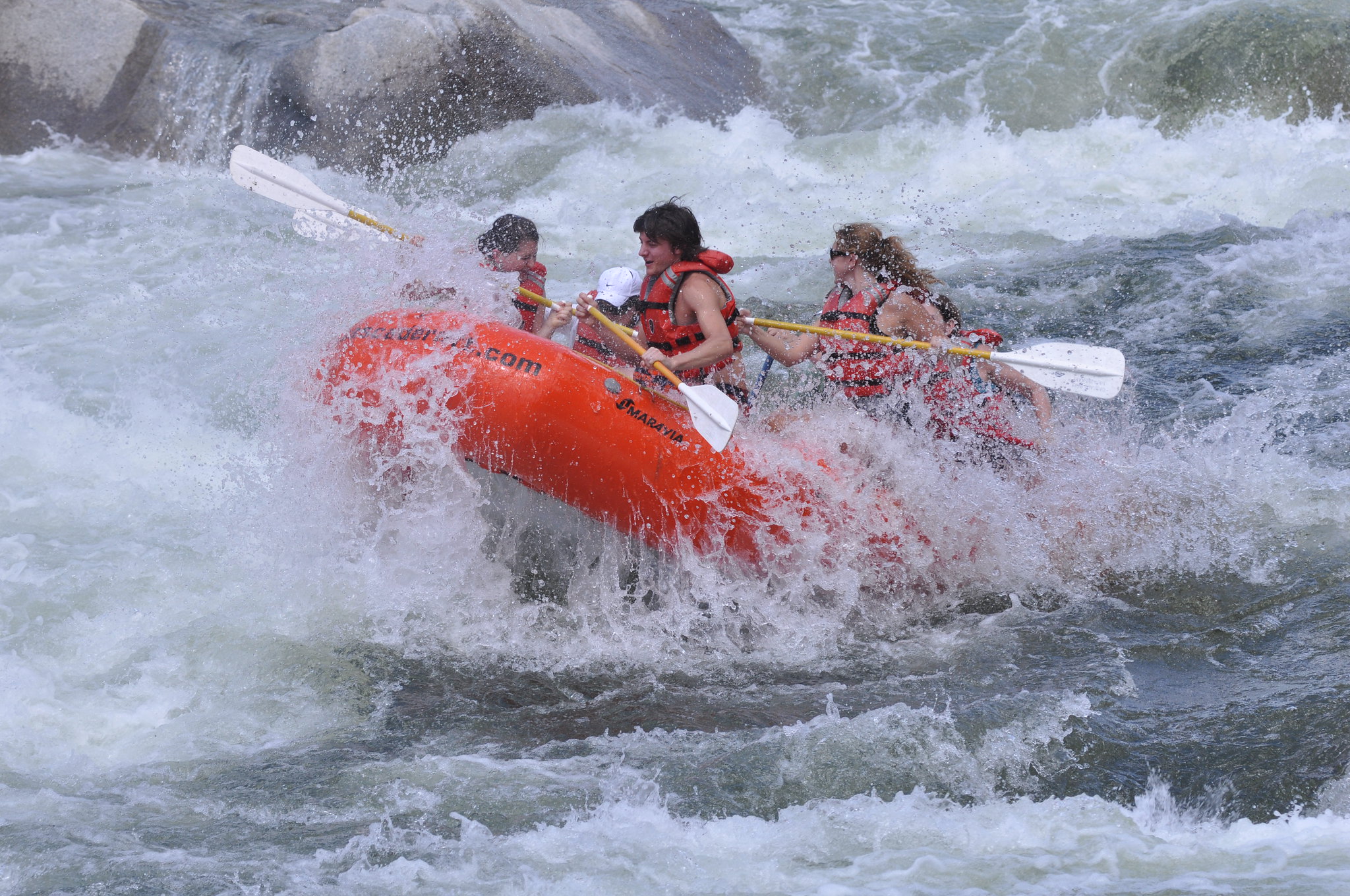
Flowing from the central Idaho mountains, the Payette River and its various forks offers a variety of river related recreational opportunities. The BLM and Forest Service jointly manage the Main Payette and South Fork Payette Rivers to provide public river access primarily for white-water boating. For the beginner, the Main Payette, from Banks to Beehive Bend, offers Class II-III rapids. The "Staircase" section of the South Fork (Confluence or Deer Creek to Banks) will provide a little more challenging Class II-III options, and the "Canyon" stretch (Deadwood to Danskin) will test your Class III-V rapids skills. Payette River Maps (Boater's Guide)
Describes the wider recreation area this campground sits in. Source: Recreation.gov.
Getting there
The South Fork Recreation Site is located three miles east of Garden Valley, Idaho. Turn south on Alder Creek Road and just after crossing the Payette River turn left on the South Fork Road. The site is about 1/2 mile on the left. Payette River Maps (Boater's Guide)
Activities
- CAMPING
- FISHING
- WATER SPORTS
- PADDLING
Nearby federal campgrounds
Explore more Idaho camping
Payette River: South Fork doesn't take campsite reservations — but plenty of nearby Idaho campgrounds do, and we'll alert you the moment a sold-out site opens up.
Browse Idaho camping →Details from Recreation.gov's official RIDB catalog. Conditions change — confirm with the managing office before you go. Not affiliated with Recreation.gov or any federal agency.